Sabotin Hill
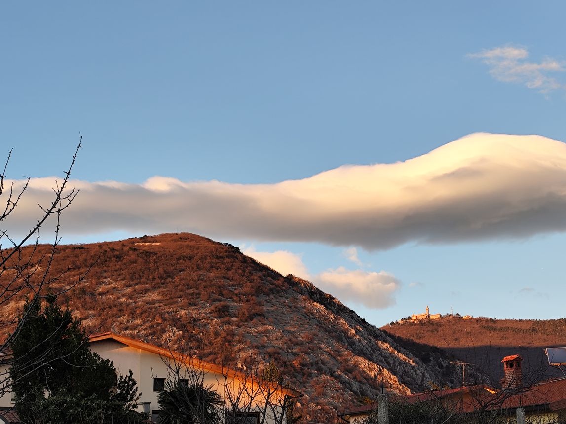
Sabotin with the “Tito” inscription on the left, and Sveta Gora (Skalnica) with the church on the right. ©Photo: Blaž Kosovel
1 / 7
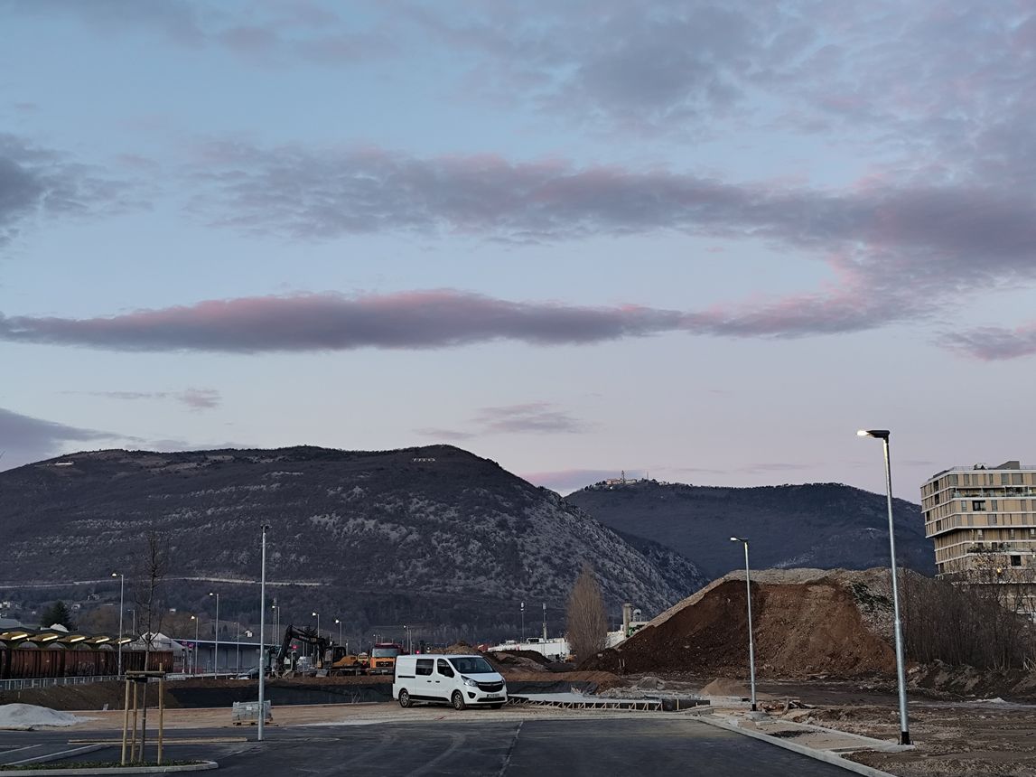
Sabotin with the Italian barracks on the left and the “Tito” inscription on the right ©Photo: Blaž Kosovel
2 / 7
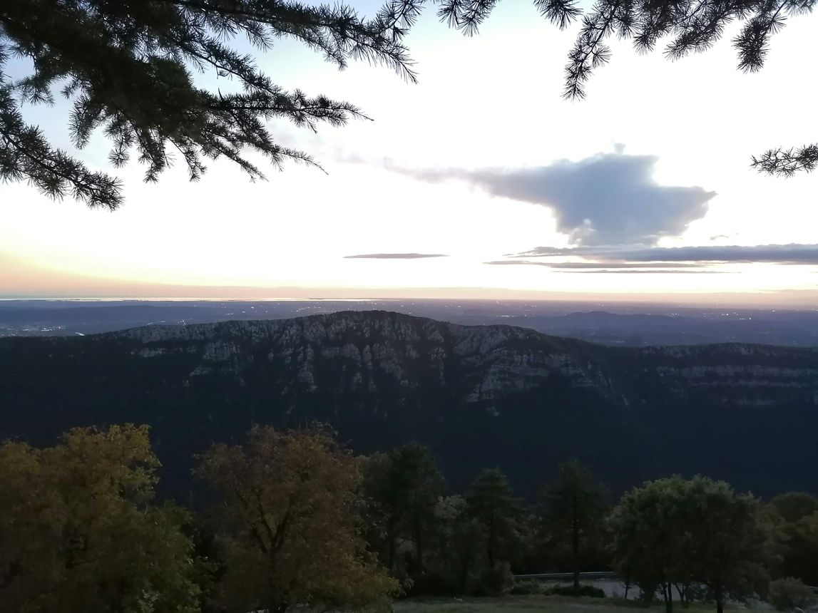
in the background to the right, Sveta Gora (Skalnica) with the church. View from the railway station.
3 / 7
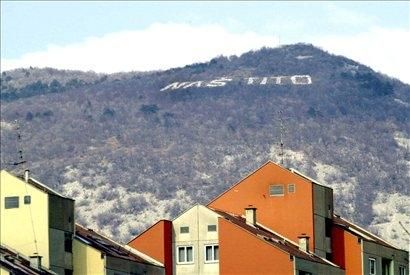
The inscription “Naš Tito” in the past ©Photo: Blaž Kosovel
4 / 7
today, only “Tito” remains in the same place. ©Photo: Blaž Kosovel
5 / 7
6 / 7
7 / 7
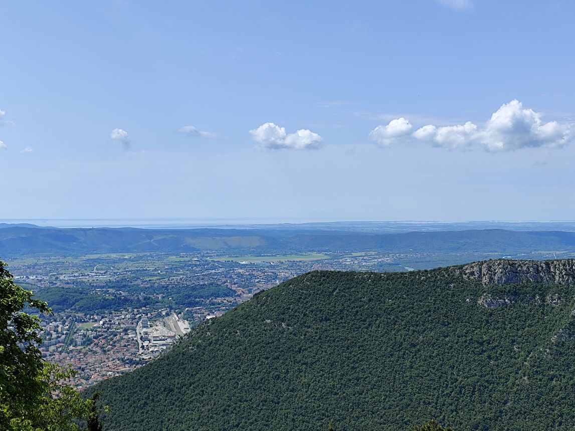
This 609-metre hill is considered the first natural “gatekeeper” to the Soča Valley; along its ridge runs the state border between Slovenia and Italy. Its name derives from the church of St. Valentine, which once stood on its eastern peak. Today, Sabotin is best known for the large “Tito” inscription visible above the town during the day, and for the Italian barracks below which lights in the colours of the Italian flag shine at night.
A small museum of the Isonzo Front is housed in the former Yugoslav barracks (Šmaver 2), from where visitors can, with a guide, also explore the caverns used by the Italian army during the First World War, offering views over the Soča River. Due to the large number of casualties on the Isonzo Front, Sabotin holds strong symbolic significance for the Italian side, which is also reflected in the many streets across Italy named after the hill.
This was also reflected in the negotiations on the final border demarcation within the Osimo Agreements in 1975, where the Italian side demanded part of Sabotin. Today, the border runs along its ridge, where a path has also been arranged. In return, the Yugoslav side gained the possibility to construct the Sabotin, or Osimo, road, which significantly shortened access to the Goriška Brda region from the main territory, as the connection had previously only been possible via a long detour through Plave. The road was opened in 1985.
Avtor: Blaž Kosovel
Vir: