Geography of Transition of the Goriška Region
©Illustration: Saša Nikić
1 / 7
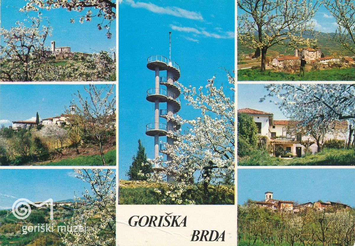
1982 ©Postcard from the collection of Goriški muzej Kromberk - Nova Gorica (Goriška museum)
2 / 7
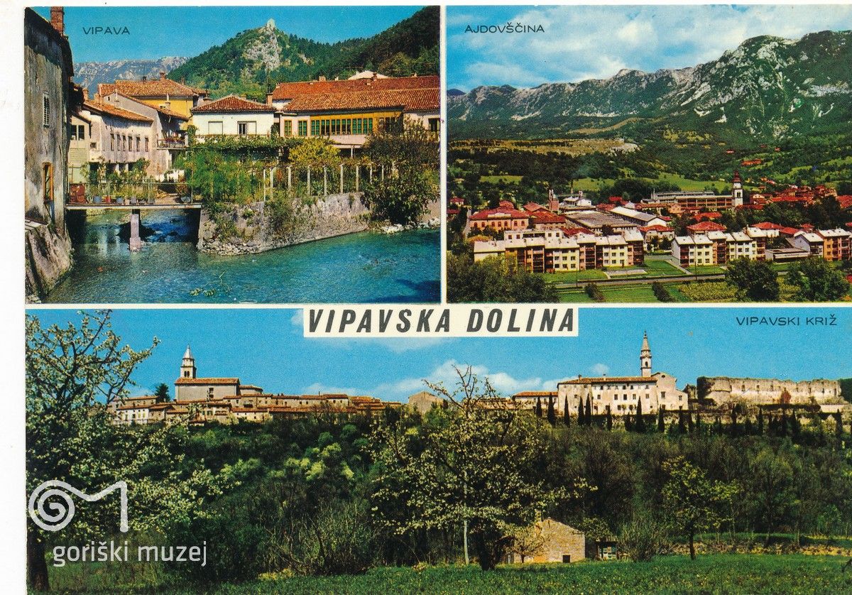
©Postcard from the collection of Goriški muzej Kromberk - Nova Gorica (Goriška museum)
3 / 7
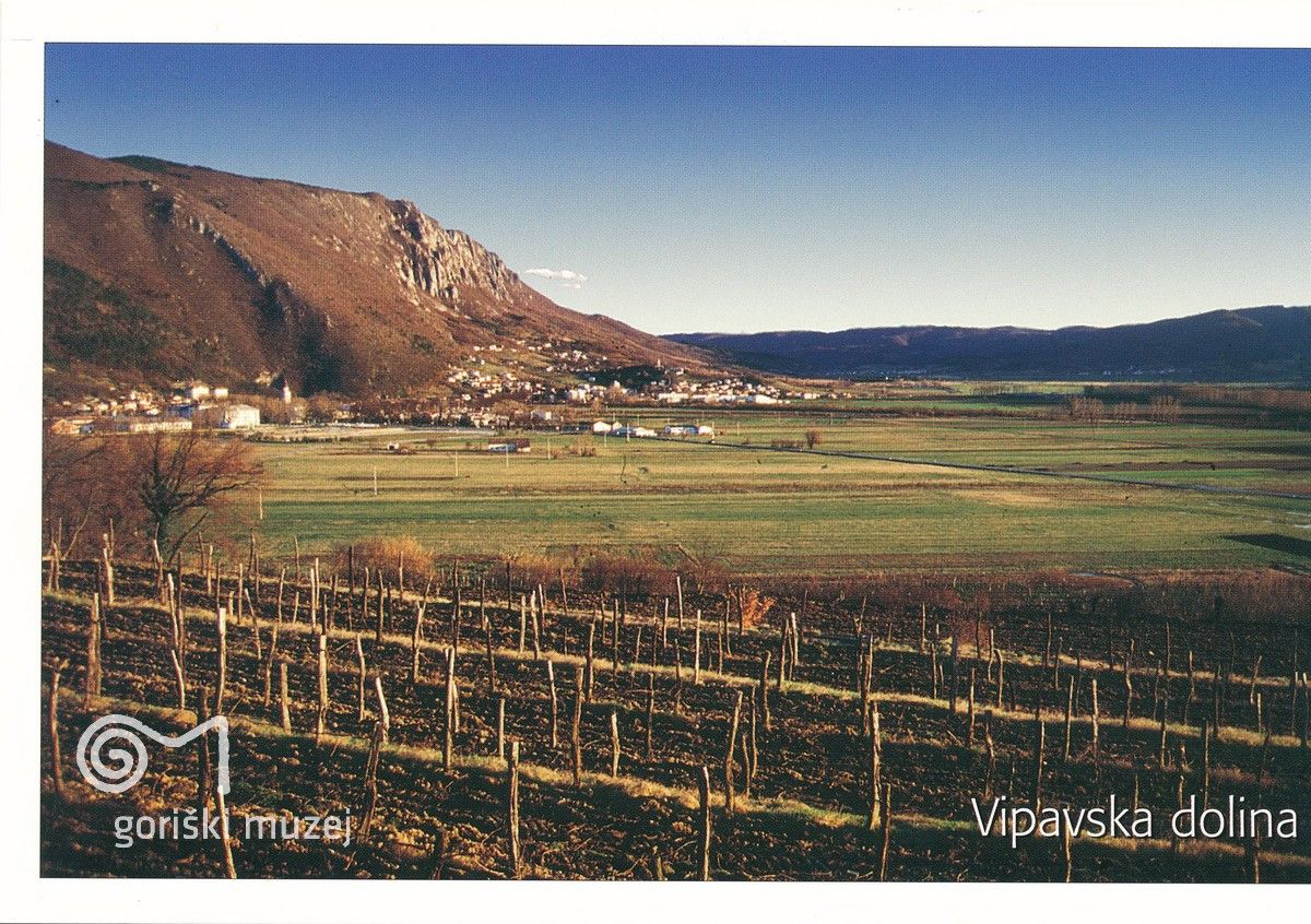
©Postcard from the collection of Goriški muzej Kromberk - Nova Gorica (Goriška museum)
4 / 7
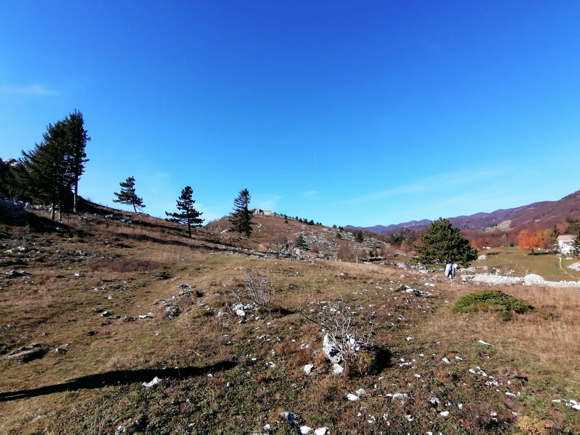
Trnovski Forest Foothils ©Photo: Blaž Kosovel
5 / 7
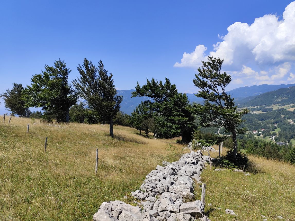
Trnovo Forest foothills. ©Photo: Blaž Kosovel
6 / 7
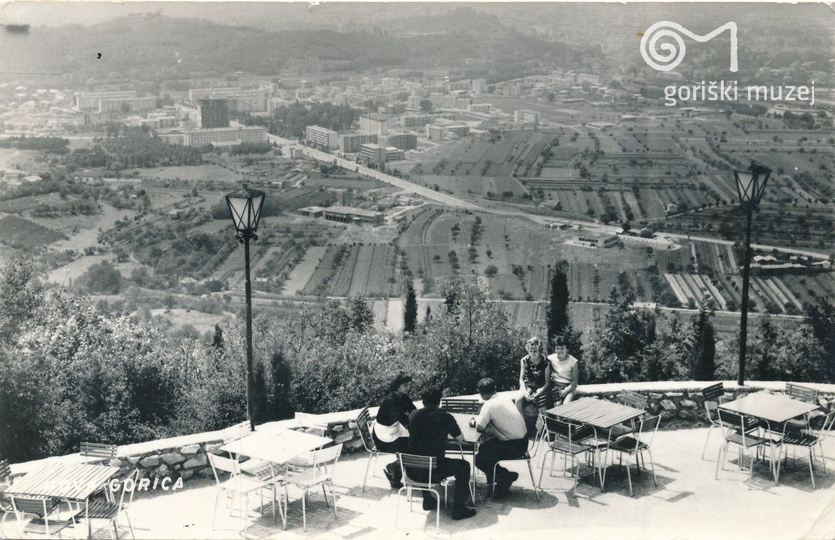
Panorama of Nova Gorica and Gorizia, postcard, late 60s. ©From the collection of the Goriški muzej Kromberk - Nova Gorica (Goriška museum).
7 / 7
The Space of a New Town
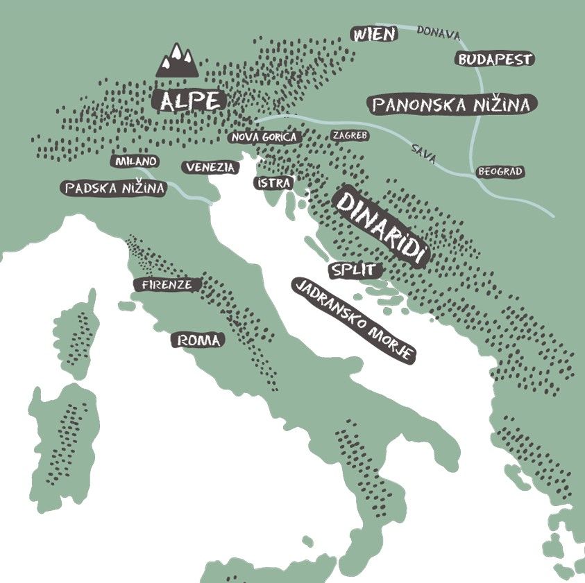
The Goriška region (Il Goriziano in Italian), encompassing both Nova Gorica and Gorizia, is characterised by numerous transitions, contrasts, and borders – both geographical and cultural, as well as linguistic. It stretches from Slovenia's highest peak, Triglav (2,864 m), to the Gulf of Trieste, in other words, from the Alps to the Mediterranean Sea.
The Julian Alps form the southeastern edge of Europe's highest mountain range, stretching from here to the French Riviera. Triglav has become such an essential symbol of Slovenia that it is depicted on the national coat of arms. Near it springs the Soča River, which flows through a narrow valley into the plain at Gorizia before emptying into the Adriatic. The Soča Valley is today one of Slovenia's most popular tourist destinations.
The Gulf of Trieste is the northernmost part of the Adriatic Sea and, therefore, of the entire Mediterranean. Named after Trieste, a port known since Roman times, it flourished in the 18th century when Maria Theresa (1717–1780, ruled from 1740), ruler of the Habsburg Monarchy, designated it as the Empire’s primary port.
The Dinaric Alps also begin here, extending across the Balkans through Croatia and Bosnia, and continuing all the way to Greece. Just above the town rise the hills of Sabotin, Sveta Gora (Skalnica), and Škabrijel, which form the backdrop for the Trnovo and Banjšice plateaus. South of the town begins the Karst Plateau – the very »Karst" that gave its name to all karst phenomena worldwide and introduced terms like doline, polje, and karst field into international scientific terminology.
The Slovenian part of the Dinaric Alps contains more than 12,000 caves, including the famous Postojna Cave – the only one in the world with a tourist train – and the Škocjan Caves, listed on the UNESCO World Heritage List.
The Nanos Plateau, rising above the source of the Vipava River, forms a key watershed dividing the basins of two seas. Rivers on the western (Goriška) side flow into the Adriatic, while those east of Nanos run toward the Black Sea – first into the Sava, then the Danube, and finally through the Bosporus to the Mediterranean.
This natural boundary often coincided with historical borders, for example, between the regions of Goriška and Carniola, both of which were long part of the Habsburg Monarchy. After the First World War, this was also the site of the Rapallo border between the Kingdom of Italy and the Kingdom of Serbs, Croats, and Slovenes (later renamed the Kingdom of Yugoslavia).
The influence of the Mediterranean climate reaches all the way up the Soča Valley to its source in Trenta. Yet just beyond the Vršič Pass begins an entirely different world – that of the continental climate.
To the west, the Friulian plain merges into the vast Po Valley, stretching across northern Italy until it meets the Alps again near Turin. To the east, the plain ends in the Vipava Valley, which begins with the river's delta-shaped spring. This is one of the region's three wine-growing areas, along with the Karst and the Goriška Brda, a hilly area that is currently divided between Italy and Slovenia – as is the entire region.
Here, geographic boundaries are also linguistic, ethnic, and national ones. This is where the Slavic and Latin worlds meet, with Germanic influence joining from the north – creating one of the most unique intersections of cultures anywhere in the world
Avtor: Blaž Kosovel
Kraj: Goriška